Landkreis Rostock Map V1.0
Date : 2022-05-06 09:40:00 Report
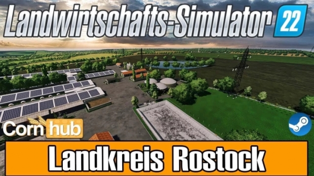
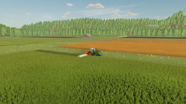
The LS22 district of Rostock is a German 4x map around the town of Kröpelin in Mecklenburg-Western Pomerania.
Map details:
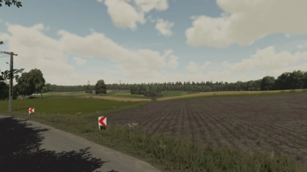
– There are 63 fields, the size is mostly large to very large.
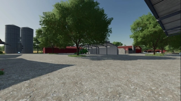
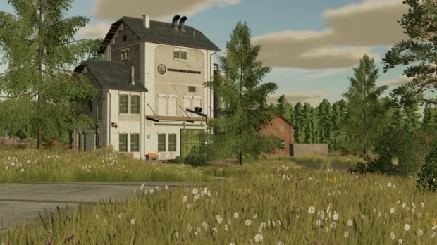
– There are 5 farms and 2 fattening farms that are fully built.
– There are up to 5 points of sale.
– There are no multi-crops in arable farming.
- There are a few standard productions on the map (look changed, function standard).
- There are two BGAs on the map at the respective fattening farms.
– The animal stalls are installed on the farms and at the fattening farms.
- The map offers a very large forest area in the north which is divided by sectors.
Problems:
– no problems detected.
Credits: MadMaxxDE, [BG] Lahmi, [MM] Aykarn


0 Reviews
No comments have been added to this post yet, would you like to comment one now?