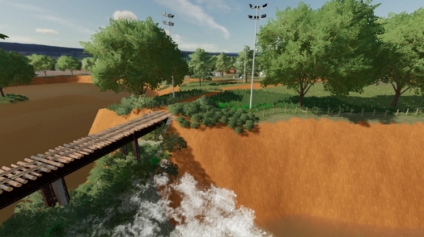
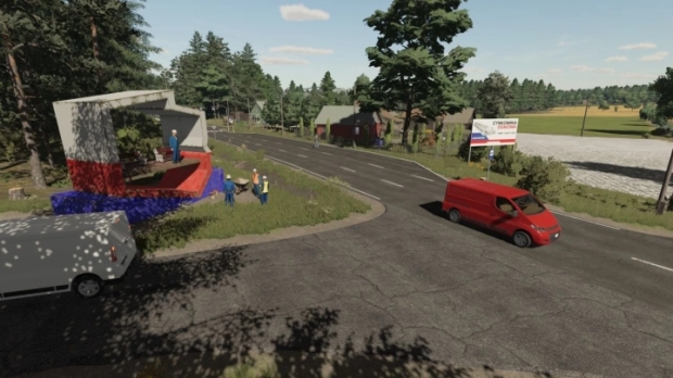
Pojezierze Gostyninskie Real Map V1.0
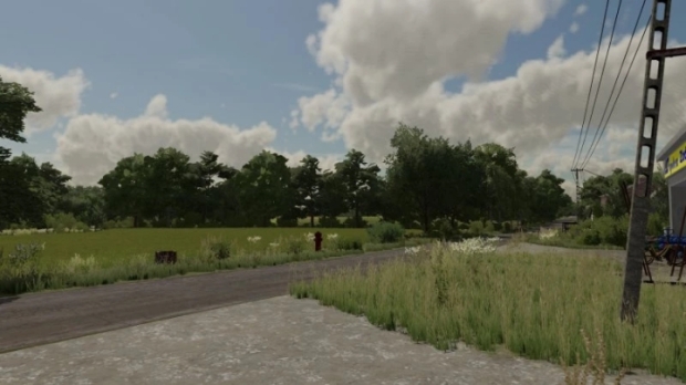
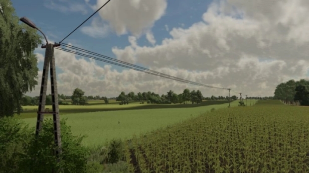
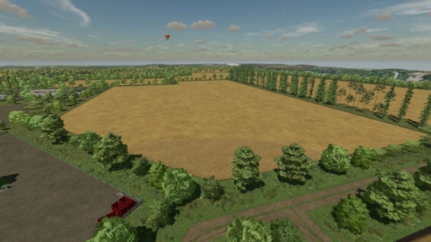
The map was created on the basis of the area near the Gostynińskie Lake District - a region that stretches between Gąbin, Gostynin and Włocławek, on the left (southern) bank of the Vistula. In the area there is a Landscape Park rich in beautiful lakes and forests. However, the areas of the commune located near the commune of Gostynin are intensively exploited for agriculture. The map was created on the basis of x4 with real terrain and grid from Google maps.
It has:
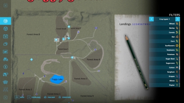
– 3 villages
– 250 farmlands
– 258 fields, including several dozen meadows
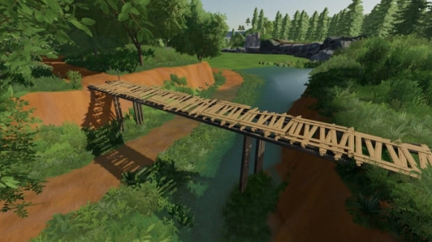
– several smaller forests
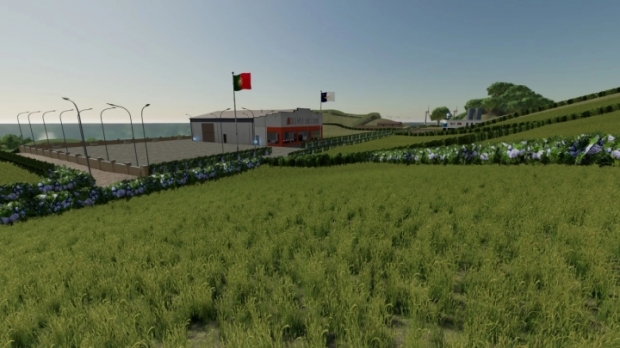
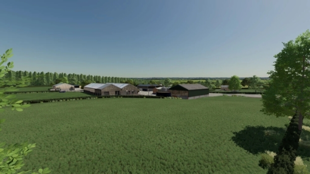
– 4 farms
– 13 purchases
– changed tree cardboards
– new terrain painting cardboard
- crop textures with added stubble compaction
– multiterrain
- Traffic
– Polish sowing dates
- 3 types of Polish registrations (black, with a flag and present)
– Agrome, CPN and sawmill
– Point of sale for Lime and UAN
– clean log
Have a nice game!
Credits: Paw3ll


0 Reviews
No comments have been added to this post yet, would you like to comment one now?