The Bavarian Farm Map V1.0
Welcome to the Bavarian Farm Map!
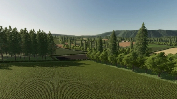
The map has no real origin and is freely invented.
However, the Regensburg / Passau region served as a model.
Construction time: Start May 23. end Nov 23.
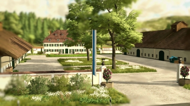
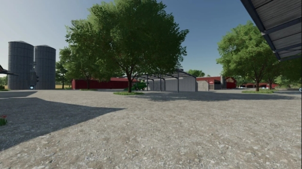
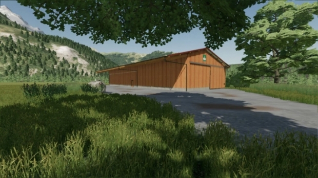
Almost all houses and farms are self-built.
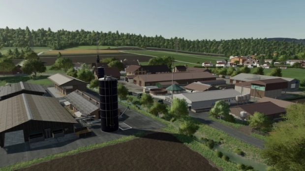
There is a village with a harbour.
In the village you will find :
- the Schöffeldingen agricultural machinery dealer
- a bakery
- a cheese dairy
- milk sales and dairy
- cattle dealer
- muesli production
- carpenter / joiner
- supermarket
- Petrol Station
- Fire Station
At the harbour :
- Harbour Grain Mill
- Farm shop
- Market garden
There are 4 farms
1. main farm with cow-,chicken- and pigsty
2. lower Bavarian pack.With cow and hen house
3. farm 3 in the village with cow shed
4. farm on the main road horses and sheep
There is a sawmill in the forest
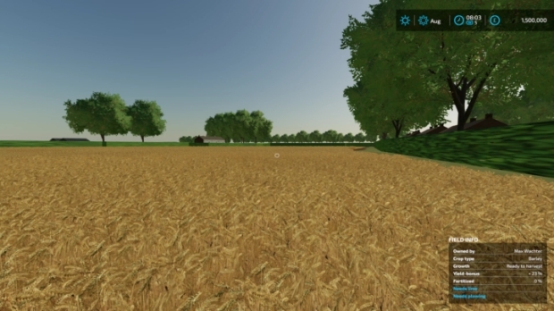
There are 28 small and large fields.
Partly helper-friendly, partly helper-unfriendly.
Have fun
Credits: BernieSCS


0 Reviews
No comments have been added to this post yet, would you like to comment one now?