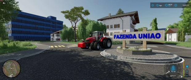
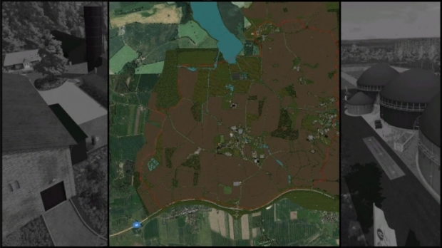
Region Niederrhein Map V1.0
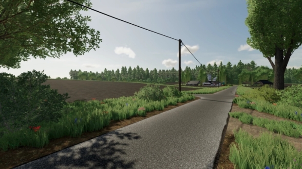
The Lower Rhine region takes place in the Kleve district, deep in the west of North Rhine-Westphalia. Here the country is very flat with many wind turbines.
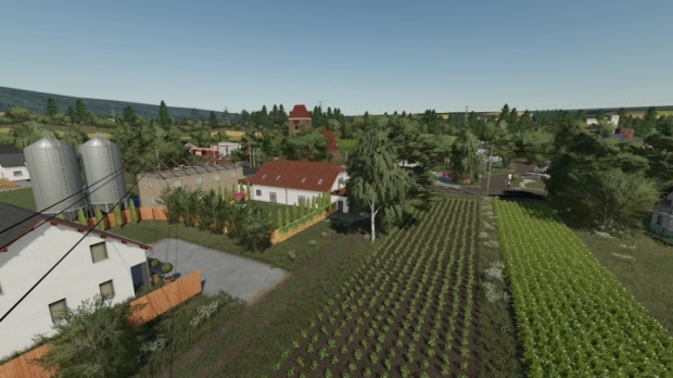
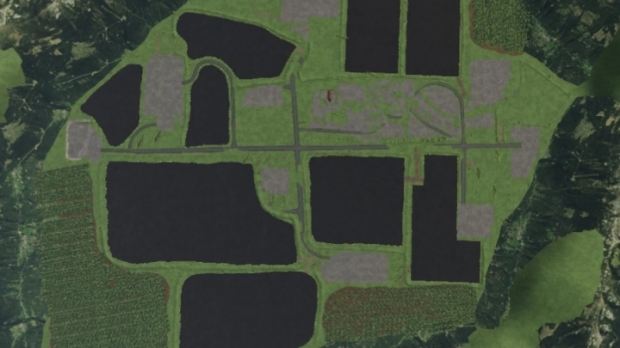
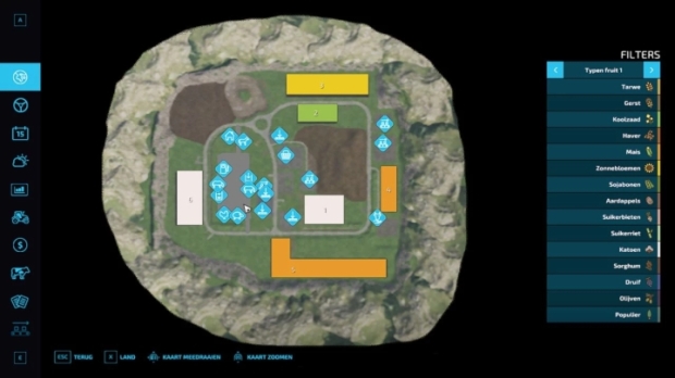
There are many farms on the map for cultivation and several unloading stations as well as two smaller villages.
The largest field is 8.7 hectares in size, which makes long processing possible and can also be easily managed with several players.
The individual farms are different sizes from each other. From small, older farms to modern dairy farms, everything is included on the map.
All further information about the map and copyright can be found in the attached ReadMe file in PDF format.
Now I wish you a lot of fun with my card and would like to thank everyone involved who always supported me with advice and support.
Credits: Fendt Vario 936


0 Reviews
No comments have been added to this post yet, would you like to comment one now?